
«Correction of Hydromodule Zoning of the Syrdarya River Basin Using Remote Sensing Data and Satellite Mapping Technologies for Correction of Water Consumption and Irrigation Regimes for Agricultural Crops Cultivated in the Region».
In May 2025, the Executive Committee of the International Fund for Saving the Aral Sea, with grant funding from the French Development Agency (AFD), launched the implementation of the international project:
The Project participants are:
– Republic of Kazakhstan – Kazakh Scientific Research Institute of Water Economy (KazSRIWE);
– Republic of Uzbekistan – Scientific Information Center of the Interstate Commission for Water Coordination of Central Asia (ICWC).
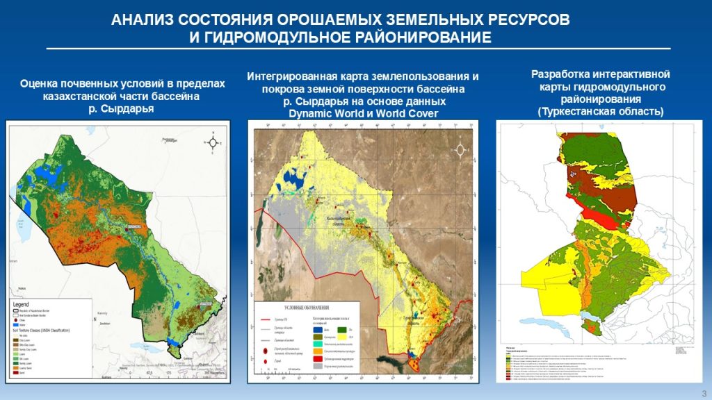
The objective of the Project is to revise the boundaries of hydromodule zones within the Syrdarya River Basin using Earth remote sensing (ERS) and Geographic Information System (GIS) technologies.
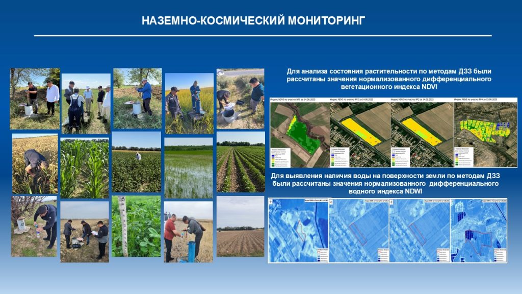
The Project applies an integrated approach based on the integration of Earth remote sensing data, field observations, and GIS technologies. This combination of methods makes it possible to obtain objective and detailed information on the condition of irrigated lands and actual water consumption across individual territories.
In parallel with satellite monitoring, field studies and measurements are carried out at representative sites, ensuring data verification and improving the reliability of the results obtained. In addition, climate change scenarios are integrated into the Project, taking into account potential increases in air temperature and changes in the water balance. This will enable irrigation norms to be adjusted to future climatic conditions and enhance the long-term sustainability of agriculture in the region.